Power your decisions with actionable data intelligence
Data meets
innovation
innovation

Stay Found!
Foster innovations and re-architect the operations, development, governance and management, Using digital infrastructure as the foundation
Focus Areas
Driving to
Digital Transformation
Digital transformation enables organizations to modernize and simplify complex processes, accelerate workflows, and strengthen development ecosystems.
Geospatial data enable us to construct a digital twin of the world around us, offering infrastructure designers and developers valuable, location-based insights. This ability to leverage location data can change the way organisations operate, improving decision-making and strengthening competitive advantage. Using these insights to proactively improve process & service efficiency is the first major step in transforming conventional communities into truly smart cities.
Who we are ?
We met at this junction
We are a team of innovators including Urban Planners Geospatial engineers, Data Scientists, Geologists, Geophysicists, Oceanographers, Marine Geochemists, Biologists and Meteorologists who have hands-on experience and expertise in the respective domains.

Tech we work with
Stack
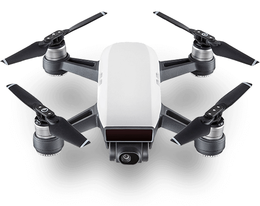
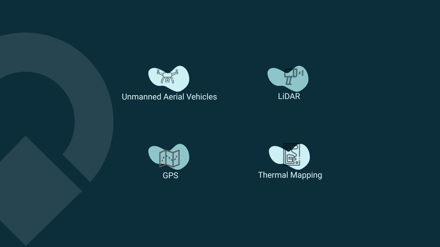
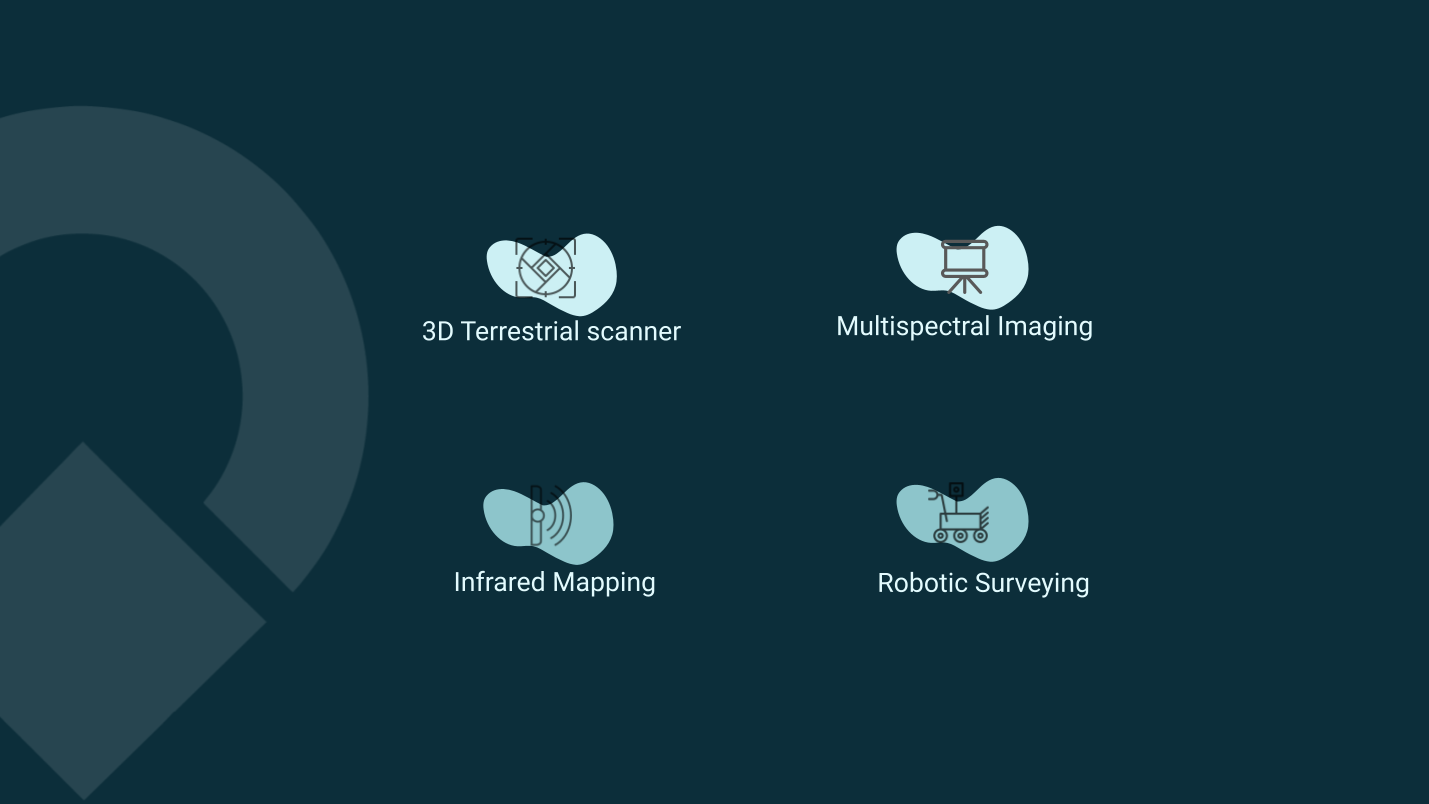
- Remote Sensing & Photogrametry
- Geographic Information System
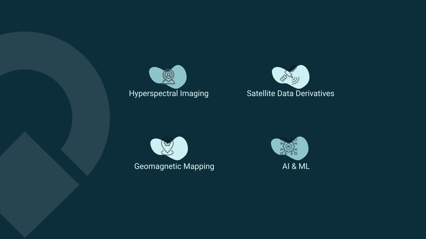
- Computer Vision & Automatic Recognition
- Data Science
and Image Analytics
Selected Projects
Contacts

